Interactive 2D/3D visualization tools for well engineering software
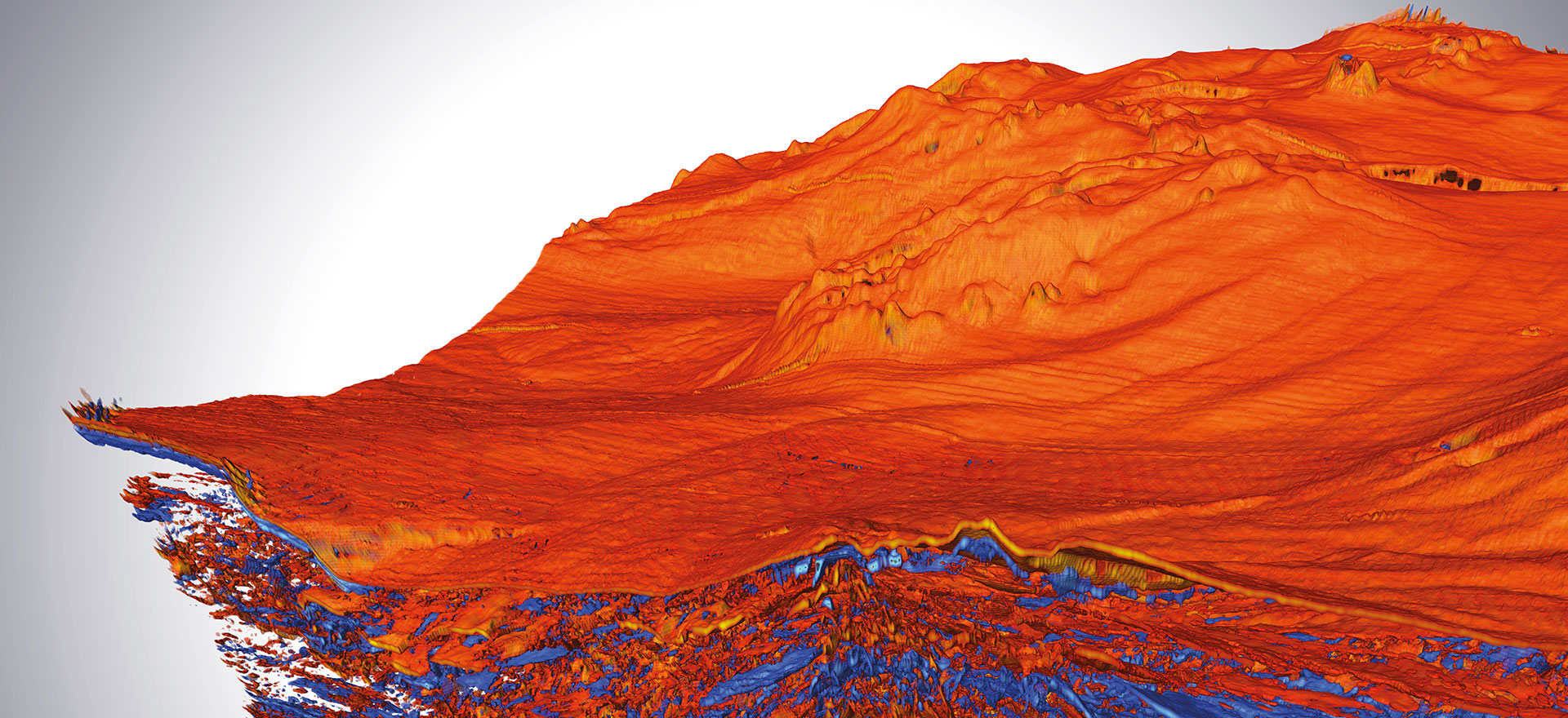
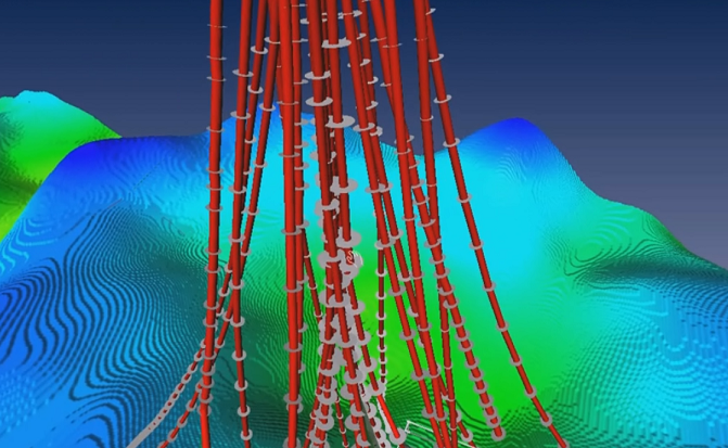
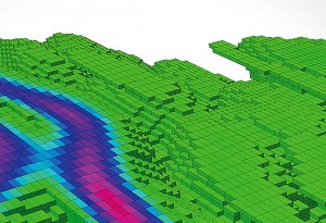
Well planning
Open Inventor powerful 3D development tools allows well planning software developers to easily integrate advanced features such as:
- Display of the entire exploration field in 3D, including surface features (such as mountains, lakes, building and GIS information), interpretation features (such as faults and horizons), reservoir simulation post-processing, the planned well path and drill pads
- Co-visualization of offset wells and logs
- Interactive manipulation of 3D well targets
- Spline interpolation with collision detection
- Dynamic updates of application-driven results (such as drill cost, production rate, fracture orientation, horizontal spacing).
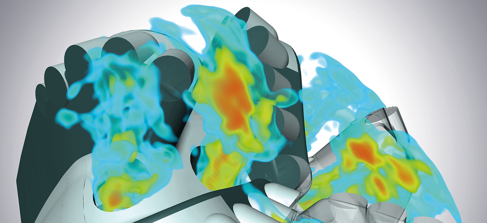
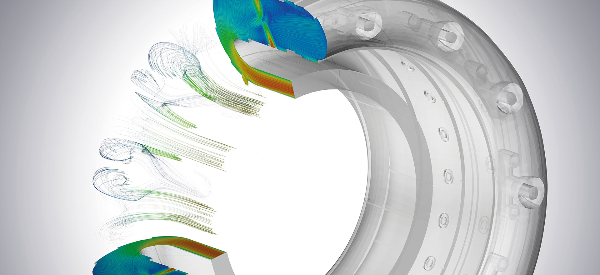
Well drilling engineering
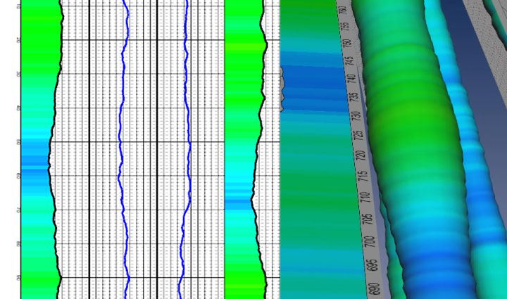
Well log imaging
Open Inventor’s advanced 2D / 3D rendering technology allows meaningful representations of well logs, including advanced color-mapping, charts, and co-visualization with well representations.
Drilling monitoring & geosteering
Integrate real-time monitoring features in your applications. Use Open Inventor’s co-visualization capabilities to implement interactive log data visualization in 2D and 3D canvases.
Enable real-time geosteering workflows with fully integrated 3D visualization powered by Open Inventor.
Go a step further Request trialContact us
See also

Mining
3D visualization tools for mining software applications
Reservoir modeling and engineering
3D visualization tools for reservoir software applications
Seismic data visualization
Ultimate 3D technology for seismic data visualization